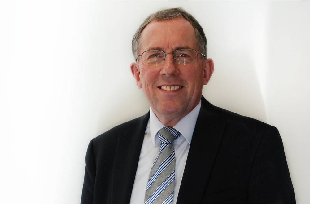
Full Name: Jonathan Robert Arthur Gammon
Job Title: Non-Executive Director / Advisor
Company: Geotechnical Observations Limited (GeO)
I am very fortunate to have enjoyed almost forty-five years of international ground engineering experience working for consultants and contractors. In addition to project work in the UK, Europe, Africa, and the Middle East, I have lived and worked in Hong Kong and New Zealand. I was Geotechnical Design Manager and Resident Engineer for West Rail in Hong Kong and Sub-Surface Design Manager for Dublin Metro North in Ireland. My infrastructure experience in London includes the Northern Line Extension, for which I was the Expert Witness, Engineering at the Public Inquiry, and the Bond Street Station Upgrade for which I was Design Project Manager. From 2014 to 2016, I worked on Phase One of High Speed Two (HS2) as Head of Ground Investigations. In 2019, I was responsible for establishing AGS’s Instrumentation and Monitoring Working Group (I&MWG), of which I am now Leader, and which featured in the June/July 2020 issue of AGS Magazine.
What or who inspired you to join the geotechnical industry?
When studying for my Civil Engineering degree at the University of Surrey in the early 1970s, I was very fortunate to fall under the “spell” of Noel Simons and Bruce Menzies, who taught us Soil Mechanics. Although I had intended to take up a career in bridge engineering – my year in industry had been spent working for contractor Marti AG on the construction of the fantastic Felsenau Bridge in Switzerland – I was easily persuaded to change direction and had their support to gain a place on the MSc Course in Soil Mechanics at Imperial College. In 2018, I was very pleased to be invited by the University of Surrey to give a lecture about my career and acknowledge the inspiration Noel and Bruce had given me. In 2019 I gave the same lecture at Imperial College and could acknowledge the inspiration given to me there.
What does a typical day entail?
I retired from full-time work in August 2017, when I was Technical Director, Tunnelling and Geotechnics at CH2M (now Jacobs). In late 2018, I was delighted when Managing Director Andrew Ridley gave me the opportunity to be, on a part-time basis, Non-Executive Director and Advisor at instrumentation and monitoring (I&M) specialists Geotechnical Observations Limited (GeO).
One of the features of previous AGS Magazine “Q&As” has been an inability to assign the word “typical” to our days. Even in semi-retirement this applies. I am fortunate to have opportunities to join fitness classes at a nearby gym, or online during the COVID-19 lockdown, so some days start in that way. I will also admit that some days involve the typical retirement pastimes of gardening and walking!
My work at GeO and my input in a volunteer capacity to AGS and other organisations means that I keep a keen eye on the technical press. Most days I will be receiving and sending emails and searching out news and information via the internet. Zoom, Teams, and similar Calls often feature during my day. WhatsApp messages arrive and need attention. I have benefitted from watching excellent webinars on a wide range of topics.
Although based at home in West Sussex, I always enjoy the opportunity to travel to our offices in Weybridge and to catch up with everyone there. In November last year Andrew and I made a successful business visit to Switzerland, where I was able to use the German I had learned all those years ago for my Industrial Year at Surrey!
Once a month I prepare my Report to the GeO Board and take an active part in the Board Meeting.
I am a STEM Ambassador and that led to my role as a Volunteer at the Science Museum in London which would, prior to COVID-19, feature regularly in my calendar.
I am fortunate to have contact with those who have worked for me going back many decades and, as a Chartered Engineer and Chartered Geologist, I have been able to help those applying for their own professional qualifications. As a Fellow of Engineering New Zealand, I continue to take part in the on-line Assessments of UK-based candidates for New Zealand professional qualifications
Are there any projects which you’re particularly proud to have been a part of?
Yes. And I am very lucky to have too many to list here! However, when pressed for an answer I will readily admit that my very first project – the Felsenau Bridge in Switzerland, where I learned about foundations, superstructures, temporary works, and site operations and was given an astonishing amount of responsibility – is still a favourite. I am also particularly proud of all the wonderful staff who have worked with me on projects in the UK and overseas.
What are the most challenging aspects of your role?
One challenge, being semi-retired, is not having the daily contact with friends and colleagues that I enjoyed when working full-time. That situation has applied to almost everyone during the COVID-19 lockdown, so there should now be a wider appreciation of that aspect of retirement.
I am fortunate to have a never-ending To Do list, not all work-related, and a major challenge is setting priorities and trying to exercise effective time-management. I had thought I would be able to keep up to date with my reading of the journals that my professional memberships keep supplying through my letter-box; that has proven harder than expected, even more so when the journals are delivered electronically.
Directly related to my part-time role at GeO, the most challenging aspect would be keeping sufficiently engaged with our overall operations and commercial well-being to know where I can best apply my experience and provide the advice required of me. I am very fortunate to be able to continue my involvement with, and passion for, civil engineering in this way but it is a challenge not to make it a full-time commitment.
What AGS Working Group(s) are you a Member of and what are your current focuses?
I am the Leader of the Instrumentation and Monitoring Working Group (I&MWG). Members of the I&MWG are nominated to be Primary Contacts with the other AGS Working Groups, and I represent the I&MWG on the Business Practice WG.
We are currently focussing on: the I&M Webinar we are broadcasting on 4 November 2020 at 10am; input to the revision of the “Yellow Book” (UK Specification for Ground Investigation); and contributing to the AGS initiative relating to procurement and related matters as influenced by the Institution of Civil Engineers’ “Project 13”. We also expect to be helping the British Tunnelling Society with revisions to their published documents and contributing to the work of CIRIA.
Education, training, and qualifications for those working in I&M receive on-going attention.
What do you enjoy most about being an AGS Member?
I attended the meeting at Imperial College in 1988 that led to the formation of AGS, I helped establish AGS in Hong Kong in the late 1990s, and I was Chairman of AGS from 2008 to 2010. I was both surprised and delighted to be made an Honorary Member of AGS in 2019. So, it is fantastic to be able to continue my very enjoyable involvement with AGS and to represent the I&MWG and GeO on AGS’s Executive.
AGS Meetings, Seminars, and other events are not only informative and stimulating. They are also enjoyable. It is a hallmark of AGS. I have been told by guests invited to our meetings that they find them a refreshing change from other gatherings of a similar kind. That is not to say that we do not have differences of opinion and some very robust debates before reaching final decisions. We do. This reflects the breadth of experience, the different work-place roles, and the range of ages sat around the table. Mutual respect is a feature of AGS membership; that means that no “harm” is done because of such exchanges and enjoyment persists.
What do you find beneficial about being an AGS Member?
As a Member, we have access to the fantastic library of guidance and information – and the Help Lines – that AGS provides. And to the practical advice and know-how available directly from other Members. AGS Seminars and Webinars on a wide range of topics are very beneficial to Members.
Membership also generates the awareness, particularly to those just setting out in careers, that the term “specialist” is far from being equal in meaning to “narrow”. The breadth of involvement of geotechnical and geoenvironmental specialists in projects is huge. The opportunities to be engaged in ground engineering are immense. The names of the Working Groups at AGS, with active participation in their activities always extremely beneficial, reflect the diverse nature of the membership of AGS.
Why do you feel the AGS is important to the industry?
As someone who was involved in that first meeting in 1988 that led to the formation of AGS, I can confidently say that AGS is as important to the industry today as it was then. During the 1980s it was becoming very clear that the “learned societies” and the professional bodies were unable to represent, fairly or adequately, the whole range of types of companies and organisations that were working in or contributing to geotechnical activity. Adopting the role of a Trade Association, AGS increased in importance to those involved in ground investigation, laboratory testing, equipment and material supplies, education and training, insurance and legal matters, as well as those working as specialists within consultants or contractors or working as sole practitioners who then had access to a wealth of know-how and experience not easily available elsewhere.
Initially an Association of Geotechnical Specialists, it was not long before those working in the “new” Geoenvironmental sector found themselves welcome at AGS. The outstanding success of the Contaminated Land Working Group from those earliest of days is testament, alone, to the importance of AGS to the industry. As has been the establishment of the Loss Prevention Working Group.
AGS is a unique and vital organisation. Less than ten years after AGS was established in the UK, I arrived back in Hong Kong for a second period of work on the exciting geotechnical and geoenvironmental challenges there. Immediately, and with the support of the whole specialist community for reasons that echoed the UK in 1988, I found myself involved in setting up a “sister” to the UK’s AGS. With the enormous assistance of the wonderful AGS Secretariat, an AGS Hong Kong came into being and persists with great importance to this day; its programme of Continuing Professional Development events is highly regarded and much treasured.
What changes would you like to see implemented in the geotechnical industry?
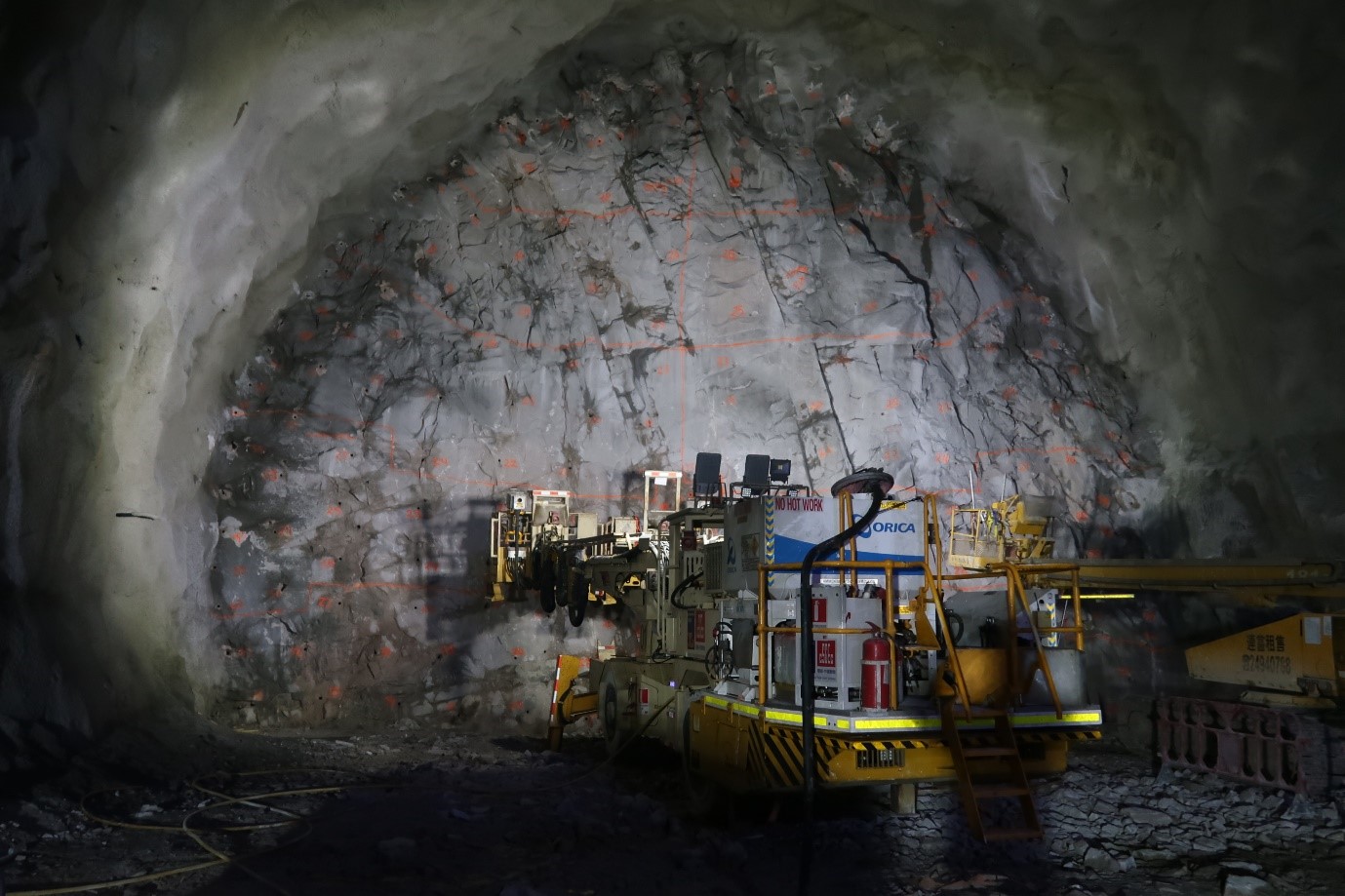
Those working in the geotechnical industry, irrespective of background or area of work, do seem to get on well with each other. However, this sense of “camaraderie” does not seem to find its way easily into commercial arrangements. When looking after the Ground Investigation for Phase One of HS2 I spoke on several occasions about the benefits that would be realised if contractors would collaborate and form Joint Ventures. In some instances, ground investigation contractors, as an example, are owned by large Tier One contractors and the opportunities for collaboration then seem remote; a similar situation occurs in I&M. This does conflict, however, with the ability of Tier One contractors (and their consulting engineers’ equivalents) to collaborate with their peers to bid for and secure work.
It is important that we are represented on the various committees and steering groups, national and international, that are involved with Standards, Codes, Specifications, Good Practice Guides, and the like; AGS enables us to do this.
We need to assert ourselves in the arenas occupied by Quantity Surveyors and Structural Engineers, to make sure that geotechnical and geoenvironmental considerations receive timely attention. The need for adequate Baseline Monitoring and, where appropriate, Whole-Life Monitoring, must be understood and underlined.
Attention to the ICE’s “Project 13”, and its related changes, is vital, especially if we are to align the geotechnical industry with the NEC Forms of Contract.
One major change? Not so much in the geotechnical industry but for the industry. To find that Ground Investigation and I&M are thought about and actioned at the appropriate time and do not become an after-thought, entirely out-of-step with the design and construction programme.