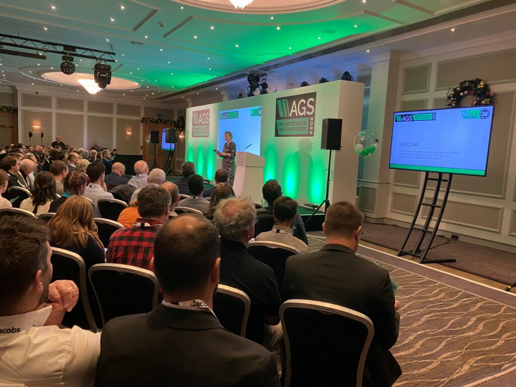
This year’s AGS Geotechnical Data Conference was a sold-out event with just under 150 attendees gathering at the Burlington Hotel in Birmingham.
Chaired by Jackie Bland (Principal Ground Investigation Data Manager at Structural Soils and AGS Data Management Working Group Leader), the conference saw delegates enjoy four sessions of presentations and Q&A’s throughout the day. Celebrations for the 30th anniversary of the AGS Data Format also took place, with balloons and cupcakes decorating the venue as delegates networked.
Beginning with the ‘What’s Happening Now’ session, Jackie Bland opened the conference with a presentation on AGS 4.1.1, before passing over to Neil Chadwick (Director, Digital Geotechnical) and Jérôme Chamfray (Chief Geo-digital Engineer, Jacobs) for a talk about the AGSi V1.0.0 launch. Dr Roger Chandler (Director, Geotechnical Information Management, Seequent) covered the OpenSource AGS Validator and the AGS 4 Python Library, Phil Wade (Managing Director, Datgel) updated on AGS 4.2 In Situ Testing, Tom Smith (Senior Geotechnical Engineer, Ørsted) spoke about using AGS data when transferring advanced geotechnical laboratory test data, and Neil Chadwick returned for a short update on AGS Piling to end the session.
Chaired by Craig Brown (Senior Data Manager, BAM Ritchies), session two comprised of a panel Q&A which saw the audience get involved with interactive polls relating to the use of data in their organisations. The panel included Vicky Corcoran (Principal Engineering Geologist, Atkins), Tom Smith, Mark Bevan (Associate Director (Data Management Team Leader), Structural Soils), Paul Chaplin (Data Manager – Ground & Water, WSP UK) and Jackie Bland. Delegates were able to live submit their questions to the Data Management Working Group, spurring discussions on the future of data and the Data Management Working Group’s next steps.
For session three, four speakers shared their thoughts on the future of data in their own organisations. The session was chaired by Simon Miles (Chief Geotechnical Engineer, Atkins) and began with Jonathan White’s (Geotechnical Engineer, Ørsted) presentation about using AGS data to build offshore wind farms. Callum Irving (Lead Geospatial Data and Standards Advisor, Cabinet Office – Geospatial Commission) spoke of the work taking place with the Geospatial Commission, Verity Wadesmith (Principal Geotechnical Engineer, Mott MacDonald) discussed how AGS data has been better used for national highways, and Pamela Rigby (Principal Geotechnical Engineer, United Utilities) finished the session with a presentation on the challenges relating to data from a client’s perspective.
Our final session ‘Pushing the Boundaries of Data’ was chaired by David Entwisle (Honorary Research Associate, British Geological Survey), and opened with Ian Williams (Director at GeoConsult and Ground Investigation) demonstrating how he works with AGS data in Mathematica Notebooks. Tony Daly (Managing Director, Amageo) touched on complicated tech and the future of open-source software, before Julian Lovell (Immediate Past AGS Chair and Managing Director at Equipe Group) delivered the final presentation with a discussion on the revisions in the new edition of the UK Specification for Ground Investigation.
It was a great event and a brilliant opportunity for everyone to gather and exchange ideas.
A big thank you to all of our speakers, and a special thanks to our sponsors and exhibitors: Jacobs, Seequent, SOCOTEC, BAM Ritchies, Geotechnical Engineering, Datgel, Geosense, SoilCloud, Wolfram, Landmark Geodata, Equipe, Terrasol, SUEZ and Groundsure.